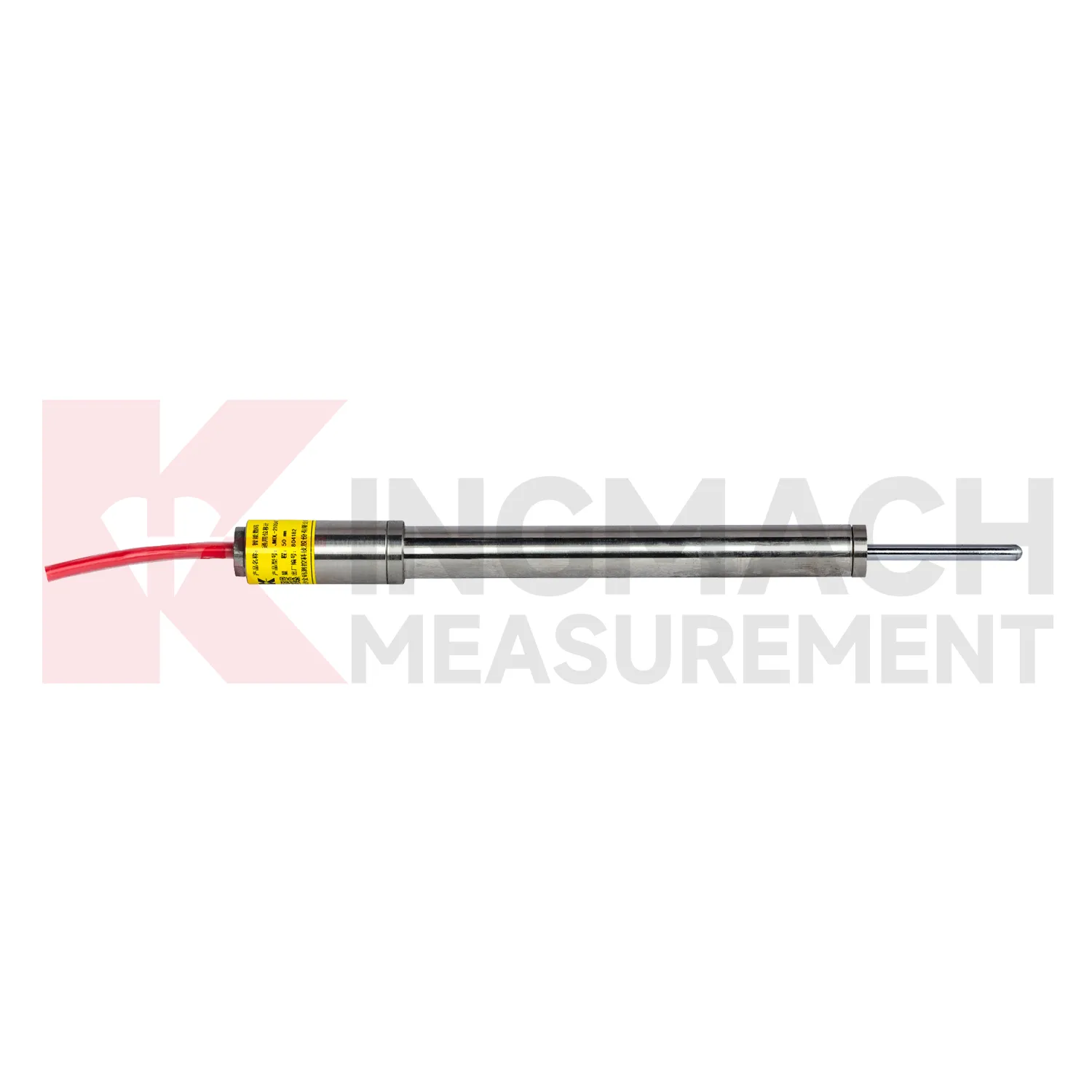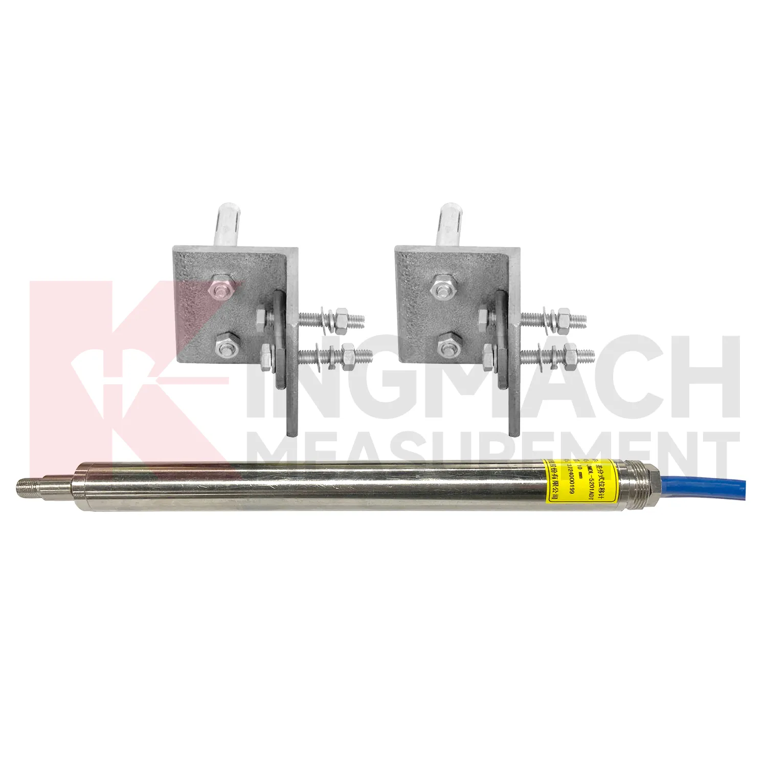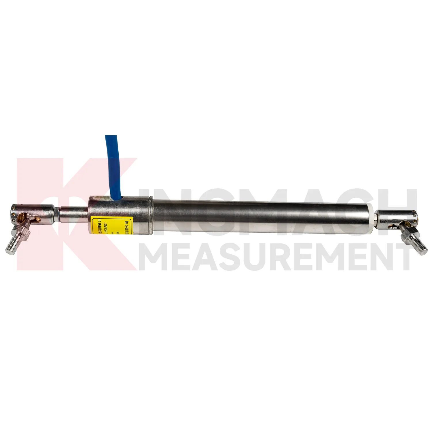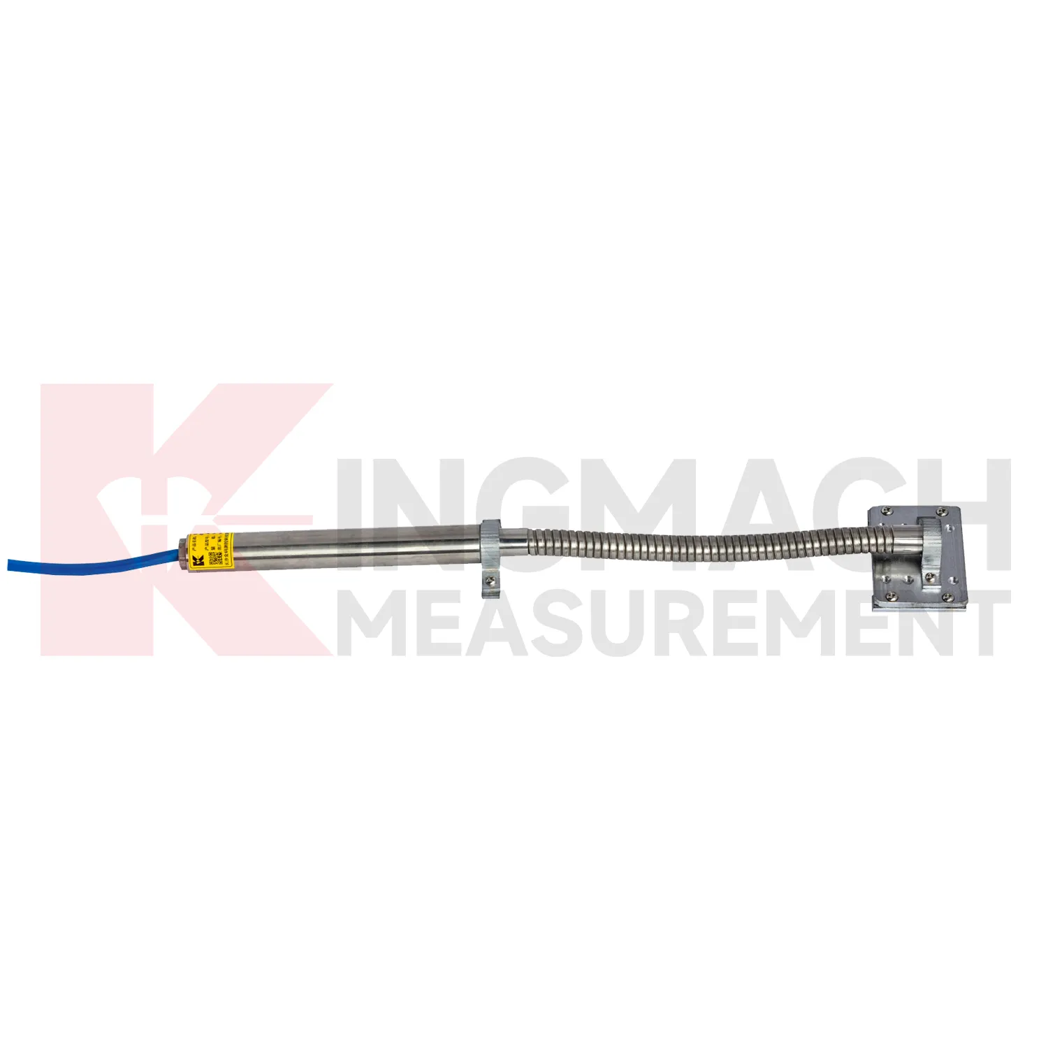
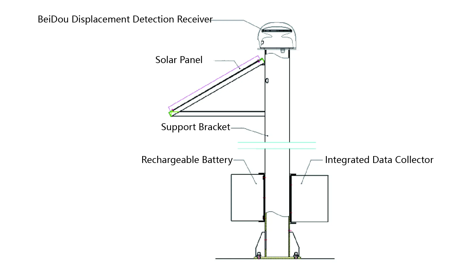
The GNSS is extensively applied in engineering fields such as slopes, high-speed railways, bridges, buildings, mines, and dams to achieve precise measurement of structural relative displacement changes.
|
Place of Origin: |
Changsha,China |
|
Brand Name: |
Kingmach |
|
Model Number: |
JMBD-1050 |
|
Certification: |
ISO9001、ISO14001、ISO45001 |
|
Minimum Order Quantity: |
1 Piece |
|
Price: |
Negotiable |
|
Packaging Details: |
Cartons or wooden cases. Customized packaging solutions are also available. |
|
Delivery Time: |
Shipped within 30 days after full payment receipt. |
|
Payment Terms: |
T/T in advance. |
The GNSS is a new-generation, all-weather, unattended automated positioning system developed using a high-performance and high-precision System-on-Chip (SoC), supporting multi-constellation and multi-frequency high-precision positioning. It is compatible with signals from China's BeiDou Navigation Satellite System (BDS B1/B2), the United States' GPS (L1/L2), Russia's GLONASS (L1/L2), and Europe's Galileo (E1/E5b). Composed of one or more positioning units deployed at monitoring points on engineering projects, the system measures horizontal and vertical displacements. This system constitutes an all-weather unmanned automated displacement measurement system.
1.Sensor principle:
Based on high-performance and high-precision SoC chips, the new generation of GNSS locators supports multi-frequency high-precision positioning of the whole system. It is a technology that receives signals from artificial earth satellites with atomic clock timing systems and conducts point measurements. The positioner receives the timing coding of no less than four satellites, and the position of the locator itself can be obtained through solving, and dynamic monitoring can be realized.
The GPS Remote Displacement Measurement System consists of a GNSS (full system) locator, mounting bracket, solar panels, batteries, etc.
2.System principle:
A system composed of multiple positioning instruments measures their own positions while performing coordinated differential computation through mutual linkage, enabling high-precision relative displacement measurements. In such engineering projects, the locator can be arranged equally with datum point, test point, obtains the high-precision position change value of test point relative to datum point.
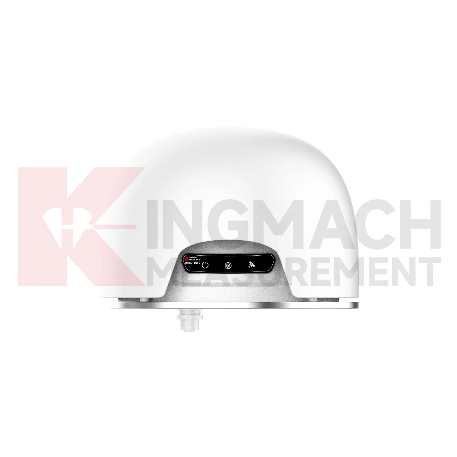
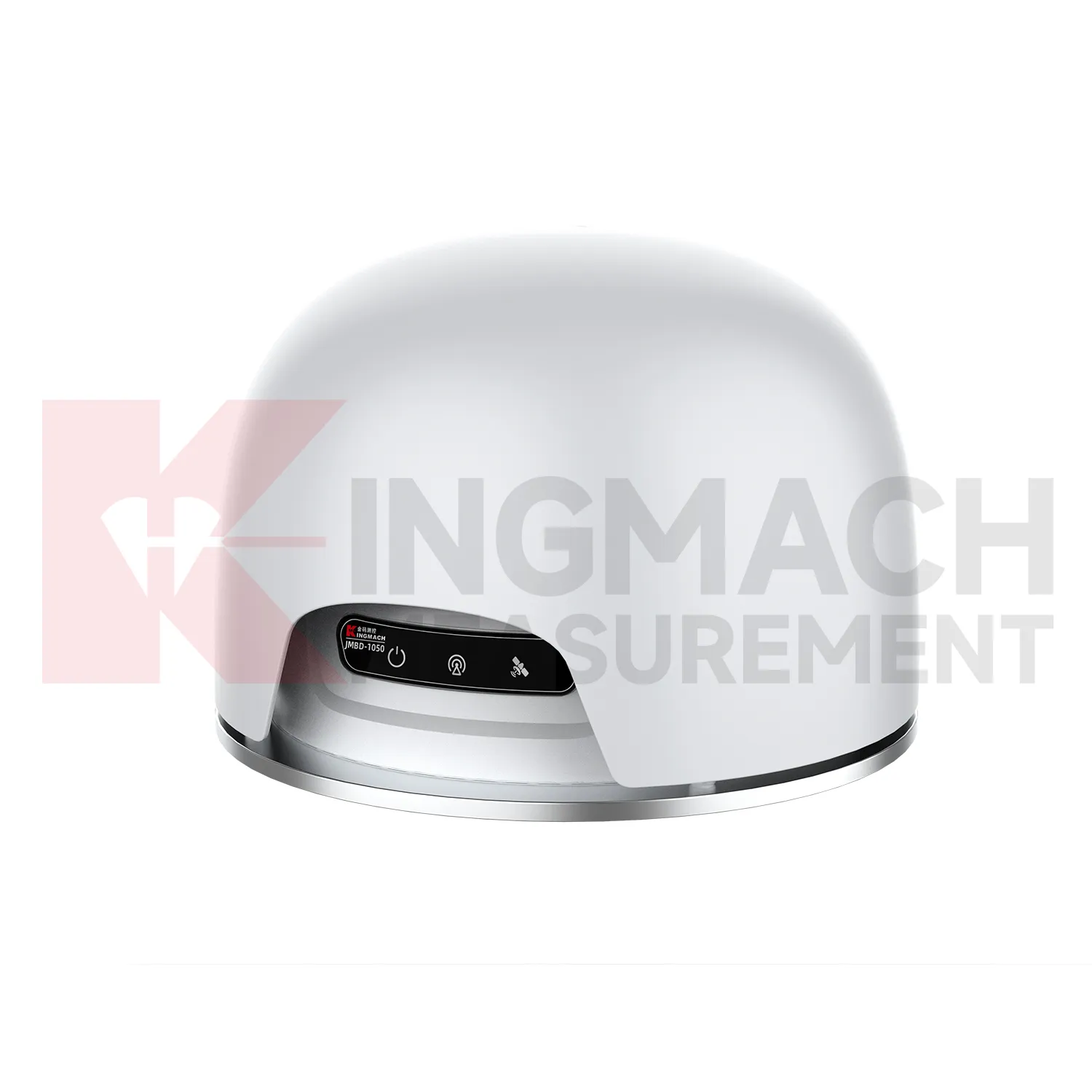
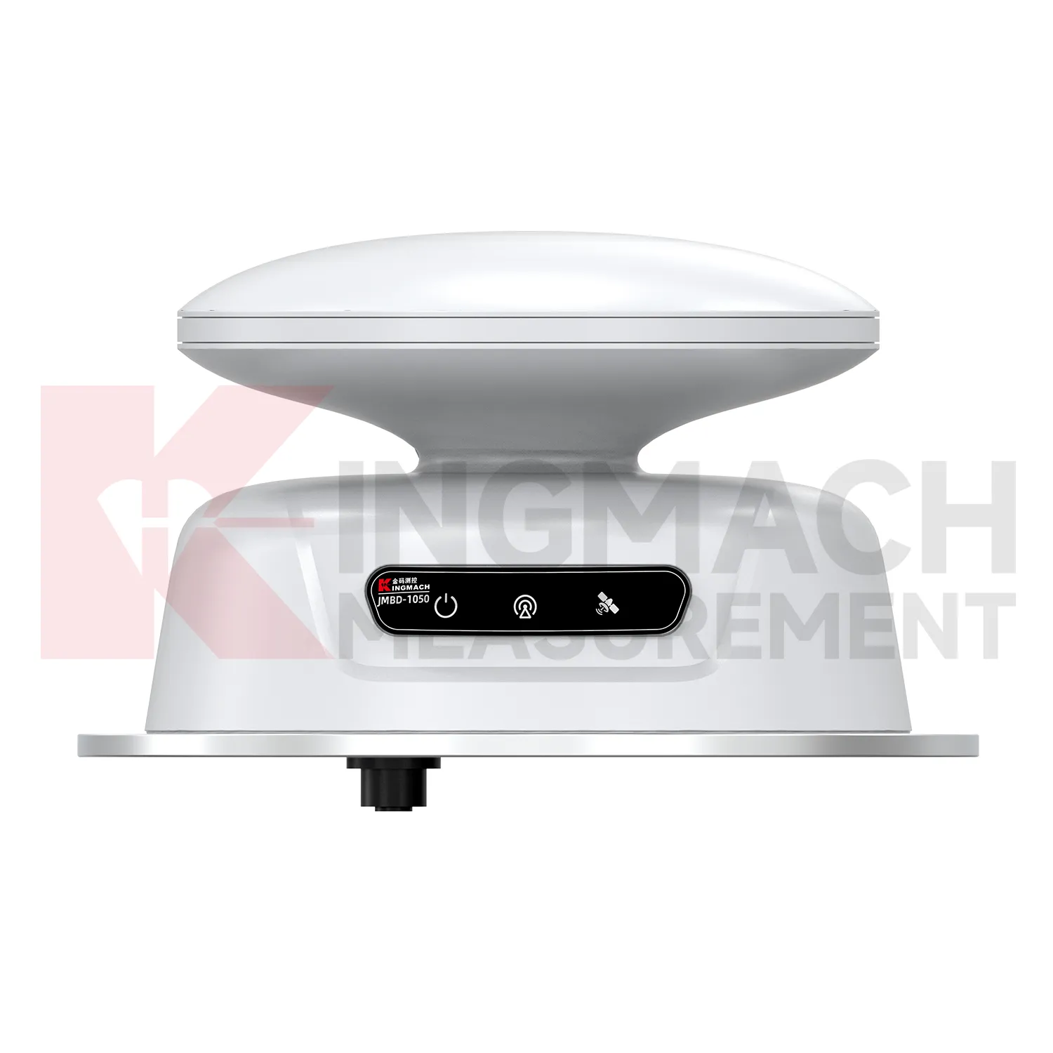
The JMBD-1050 host panel includes 3 indicators and 1 interface.
1.Power Indicator Light: Illuminated indicates power is connected;
2.4G Indicator Light: Illuminated indicates normal 4G network communication;
3. GNSS Positioning Indicator Light: Illuminated indicates successful positioning;
4. Power Interface and RS485 Communication Interface.
It is extensively applied in engineering fields such as slopes, high-speed railways, bridges, buildings, mines, and dams to achieve precise measurement of structural relative displacement changes.
|
Dynamic Positioning |
Horizontal:±8mm Elevation:±15mm |
|
Static Positioning |
Horizontal:±2.5mm Elevation:±5mm |
|
Resolution |
1mm |
|
Communication |
4G/RS485 |
|
Operating Temperature |
-40ºC~+85ºC |
|
Storage Temperature |
-55ºC~+95ºC |
|
Humidity |
95%non-condensing |
|
Vibration |
GJB150.16-2009,MIL-STD-810F |
|
Shock |
GJB150.18-2009,MIL-STD-810F |
|
Voltage |
DC 9~24V |
|
Consumption |
1.5W(typical) |
|
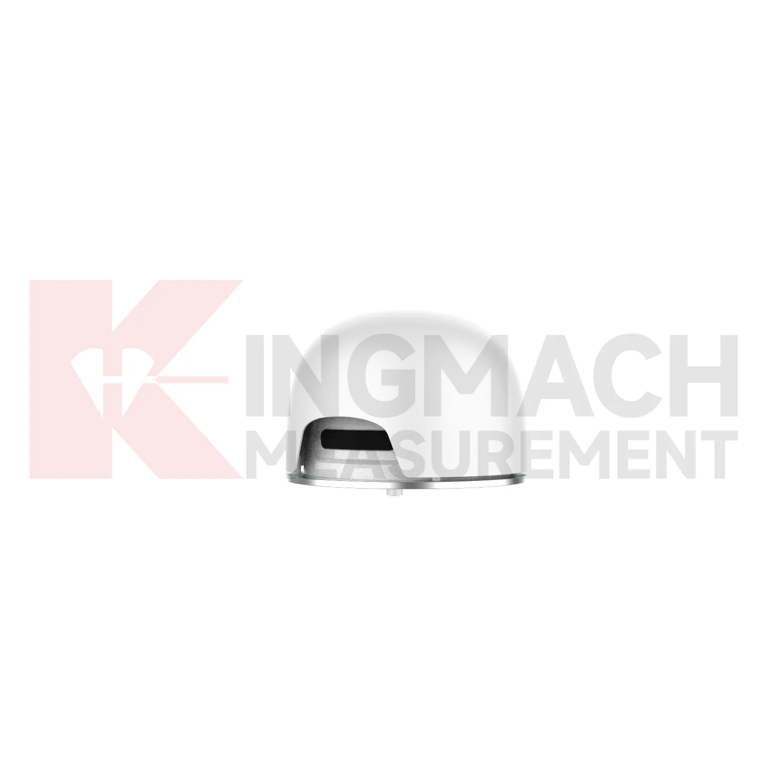
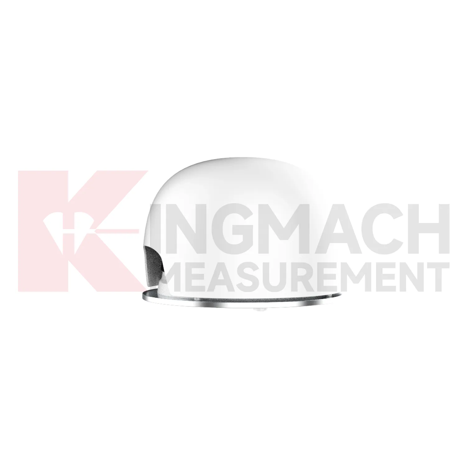
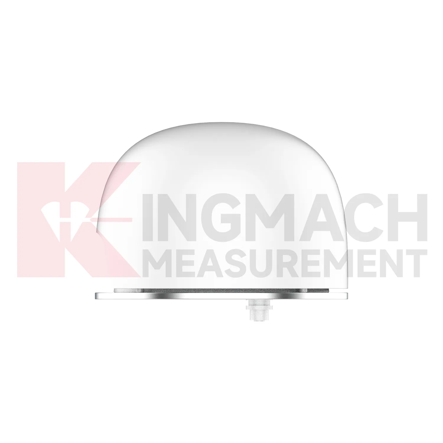
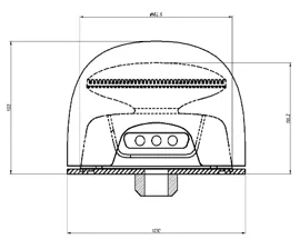
Dimensions |
Diameter 195mm,Height 95mm |
|
Weight |
Approx. 1KG(Positioning Instrument) |
|
Waterproof Rating |
IP67 |
|
Antenna |
Integrated design with built-in survey-grade antenna |
|
Reliability |
MTBF≥35000h |


If you are interested in our products or want to become our partner.
Please leave your contact information, our team will contact you as soon as possible.
Mail: [email protected]
Contact Us: +8613808434127
Address: No. 188 Tongzipo West Rd, Changsha, Hunan, China
 ar
ar bg
bg hr
hr cs
cs da
da nl
nl fi
fi fr
fr de
de el
el hi
hi it
it ko
ko no
no pl
pl pt
pt ro
ro ru
ru es
es sv
sv tl
tl iw
iw id
id lv
lv lt
lt sr
sr sk
sk sl
sl uk
uk vi
vi et
et hu
hu th
th tr
tr fa
fa ms
ms hy
hy ka
ka ur
ur bn
bn mn
mn ta
ta kk
kk uz
uz ku
ku