The JMBD-1050YT is a cost-effective, low-power, highly integrated GNSS receiver for geological slope monitoring and structural displacement measurement. With a high-performance SoC chip, it supports multi-satellite (BDS, GPS, GLONASS, Galileo) and multi-frequency positioning for all-weather, unattended monitoring.
|
Place of Origin: |
Changsha,China |
|
Brand Name: |
Kingmach |
|
Model Number: |
JMBD-1050YT |
|
Certification: |
ISO9001、ISO14001、ISO45001 |
|
Minimum Order Quantity: |
1 Piece |
|
Price: |
Negotiable |
|
Packaging Details: |
Cartons or wooden cases. Customized packaging solutions are also available. |
|
Delivery Time: |
Shipped within 30 days after full payment receipt. |
|
Payment Terms: |
T/T in advance. |
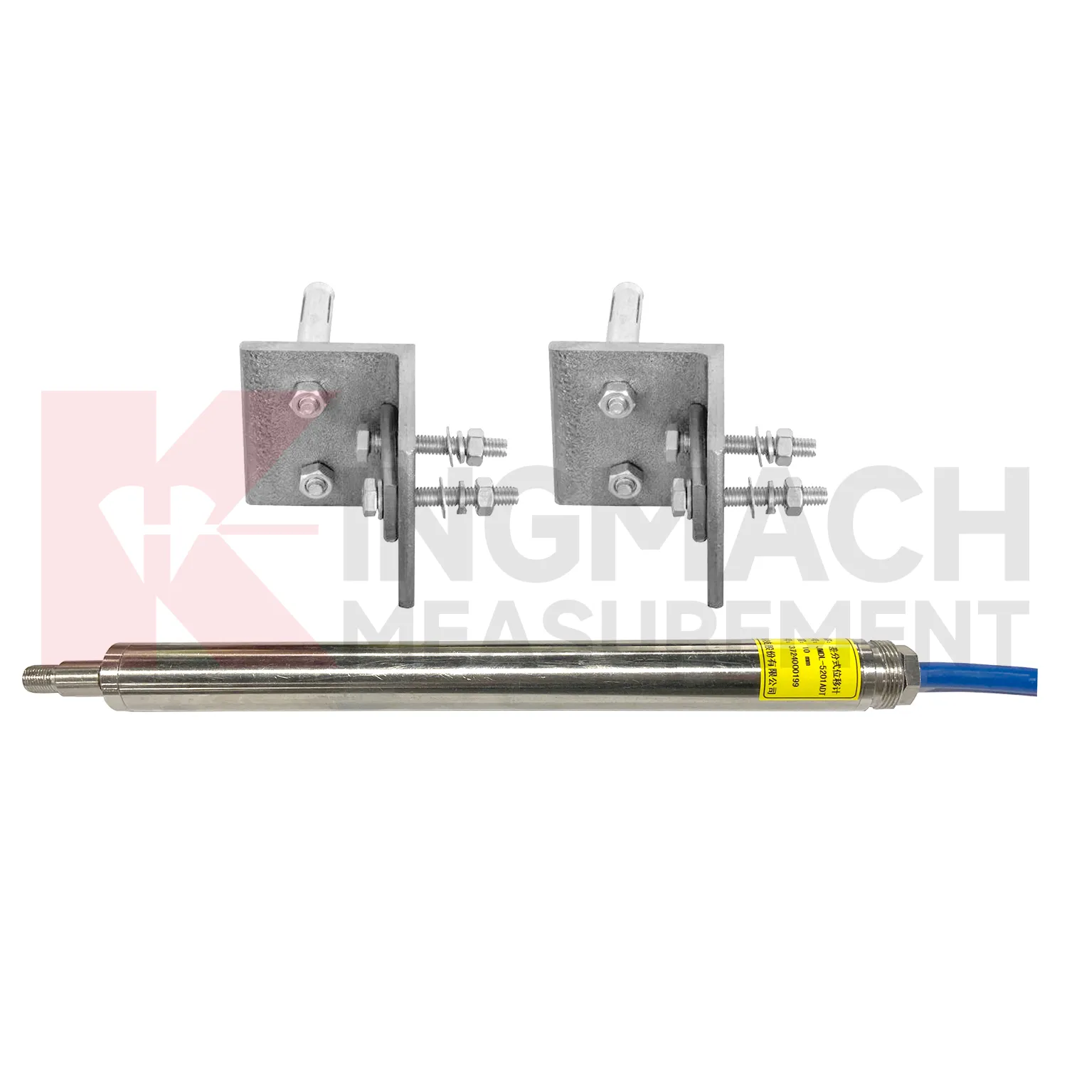
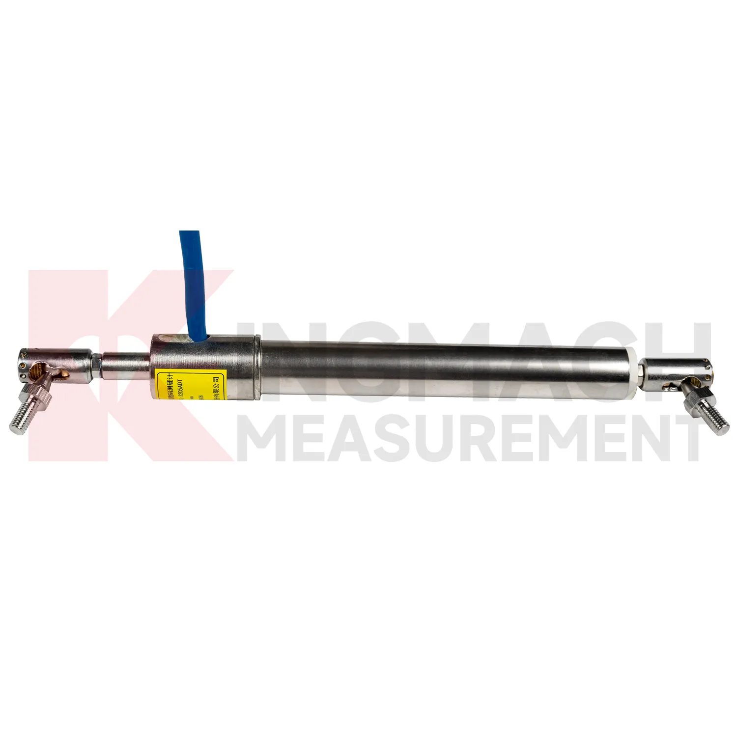
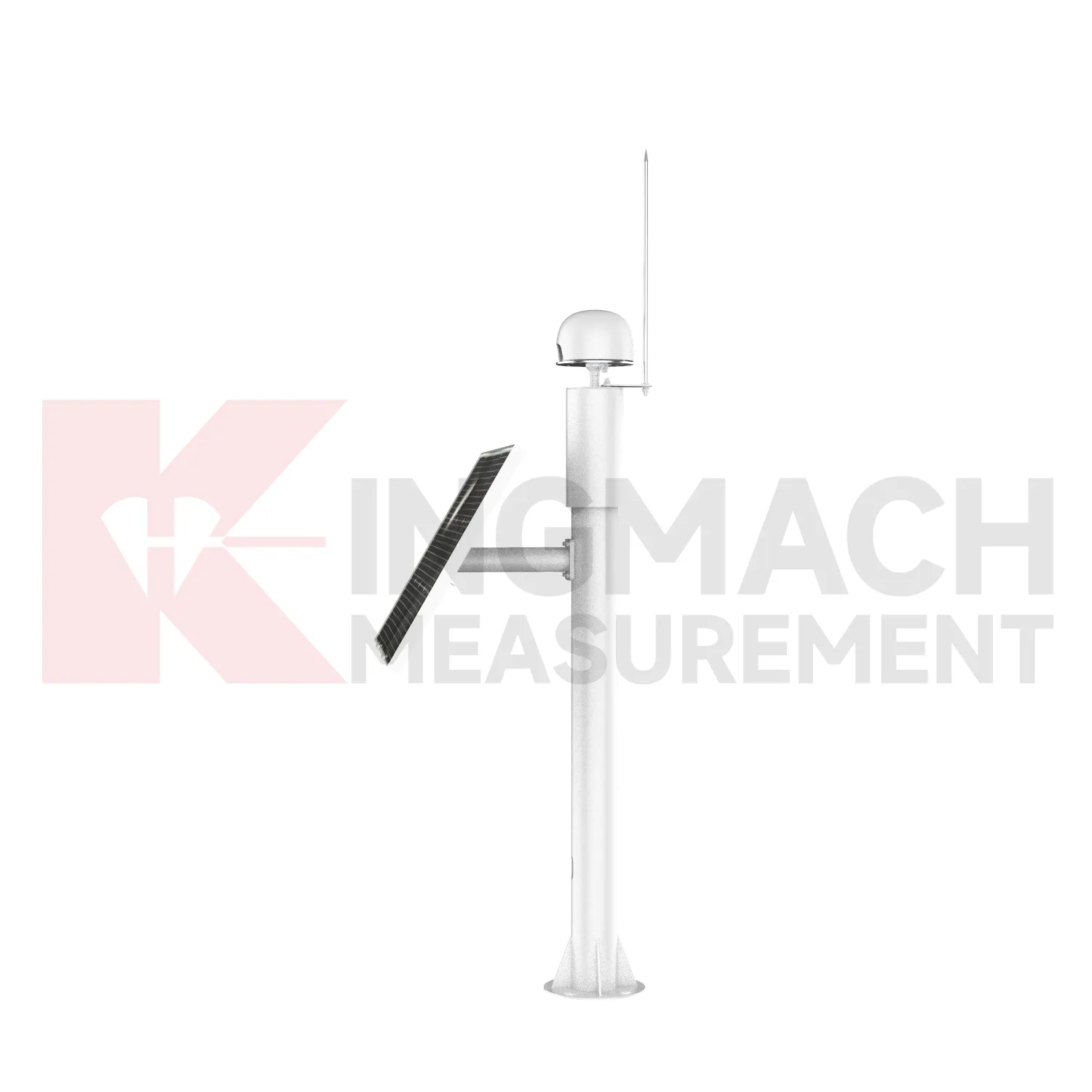
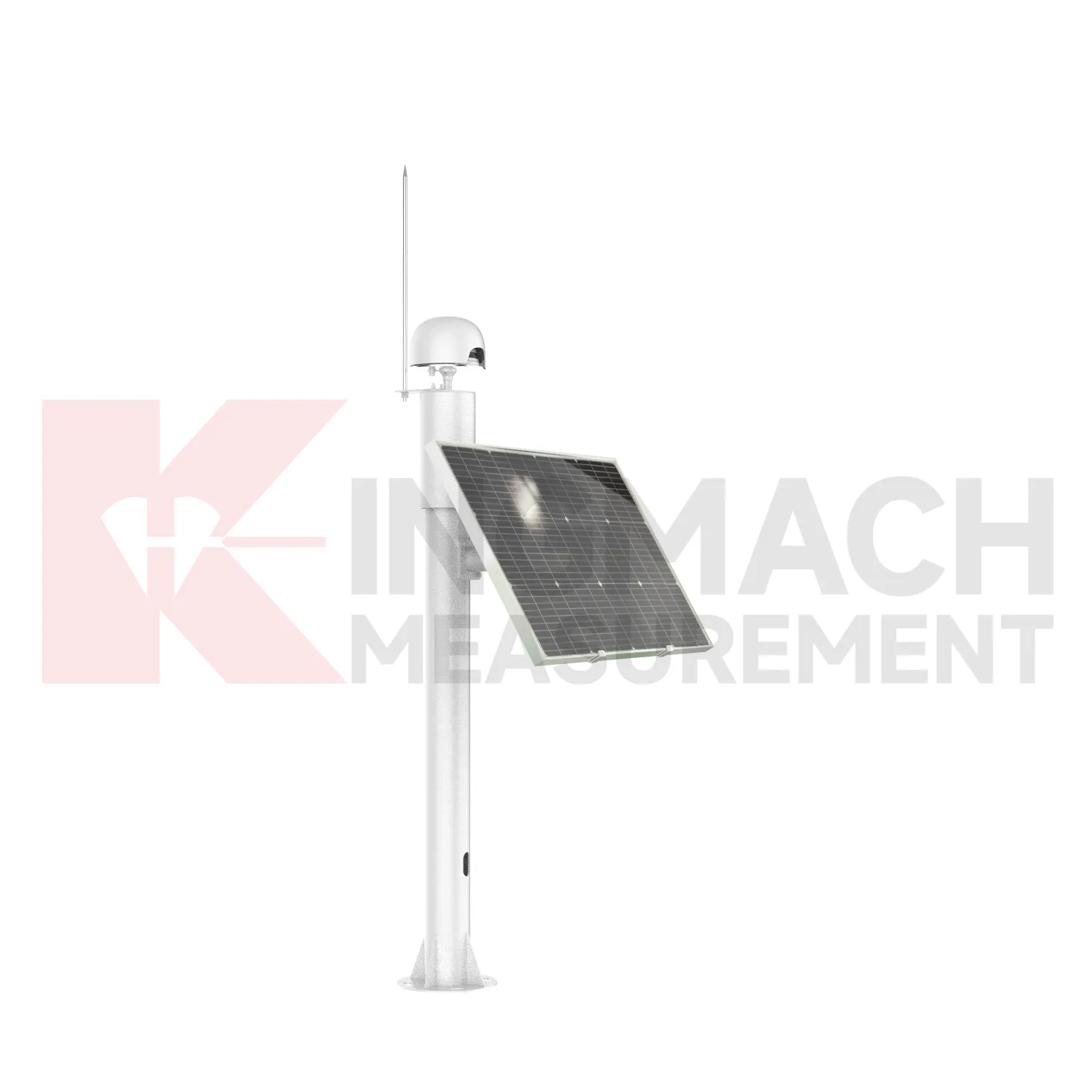
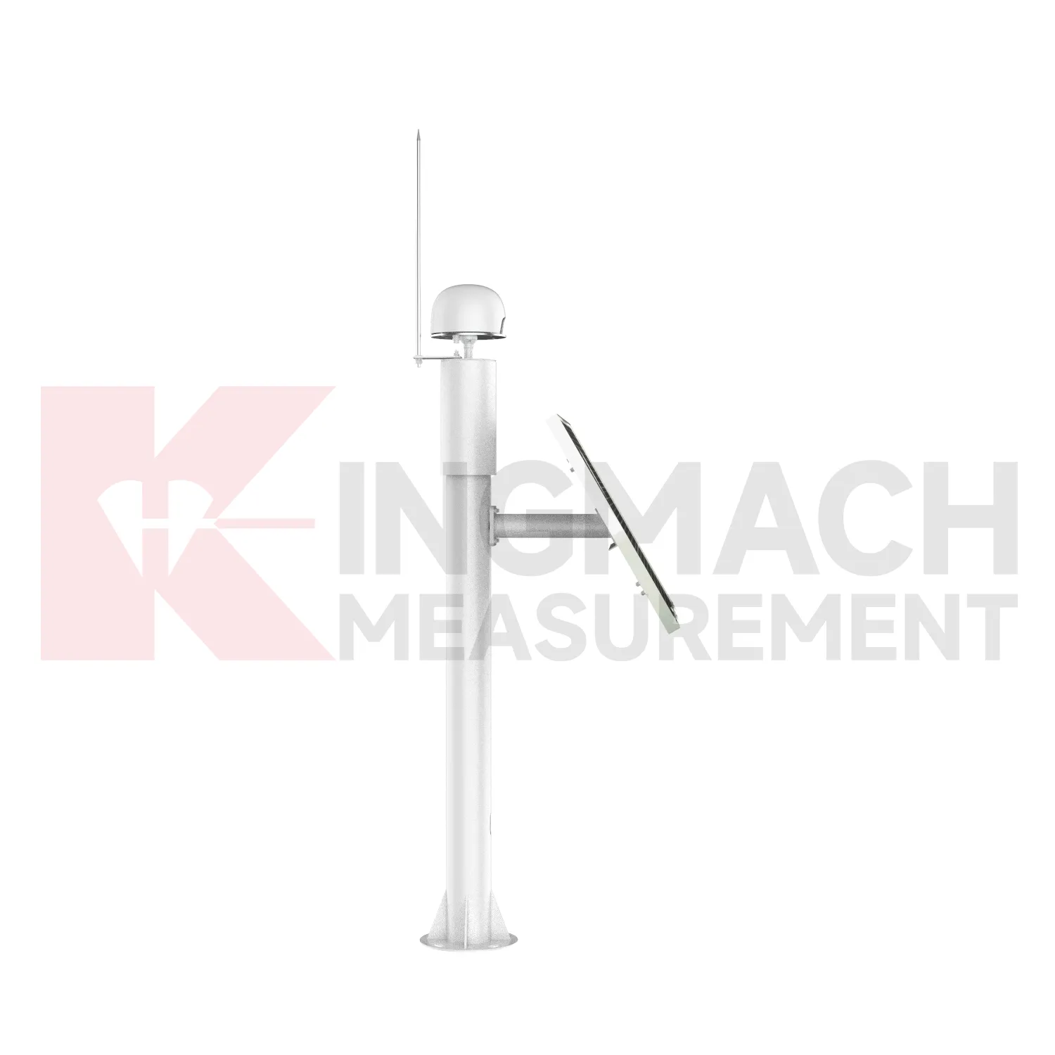
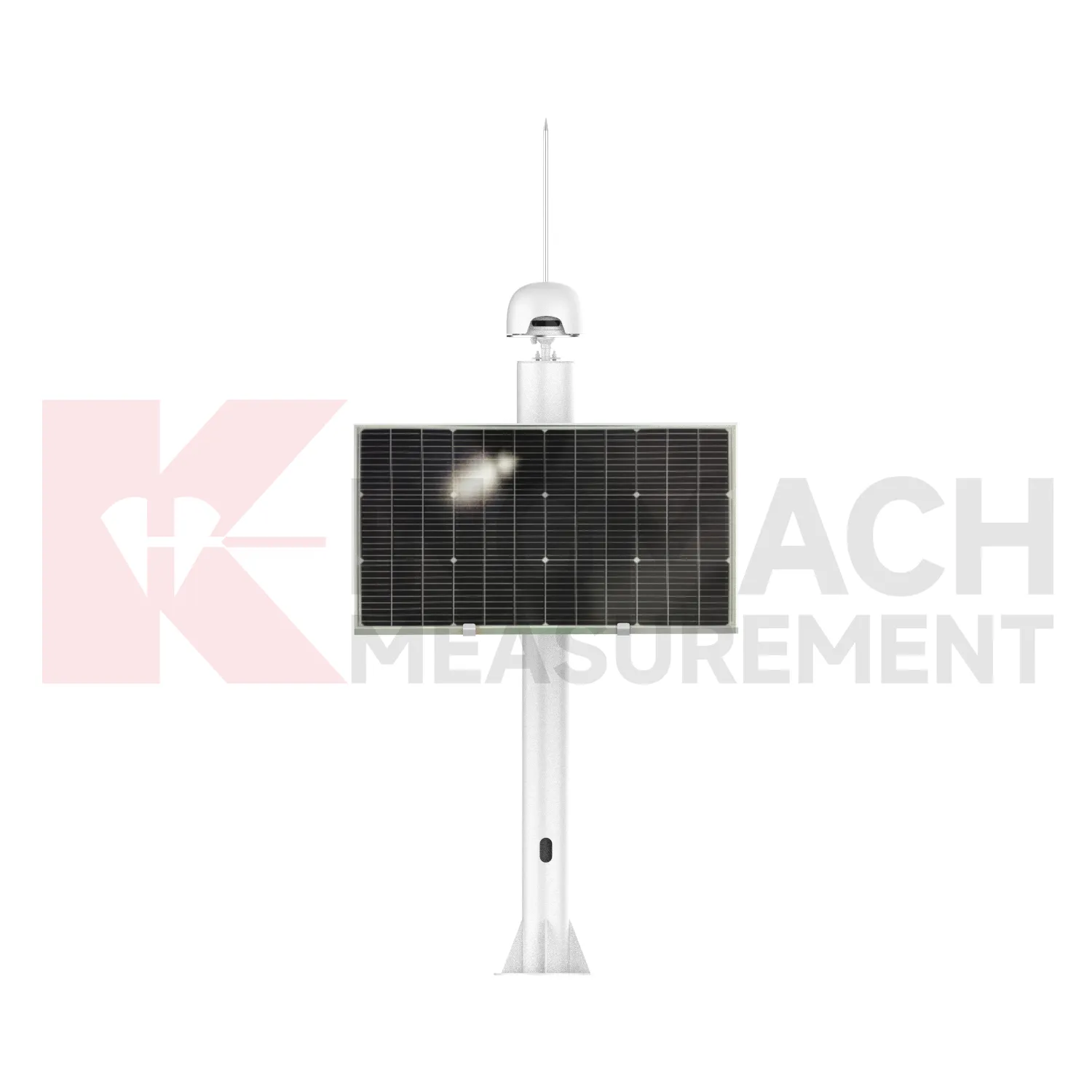
The JMBD-1050YT Integrated Beidou Remote Displacement Measurement System is a cost-effective, low-power, and highly integrated GNSS receiver designed for geological slope monitoring and structural displacement measurement. Equipped with a high-performance SoC chip, it supports multi-satellite (BDS B1/B2/B3, GPS L1/L2, GLONASS L1/L2, Galileo E1/E5b) and multi-frequency high-precision positioning, enabling all-weather, unattended automated monitoring.
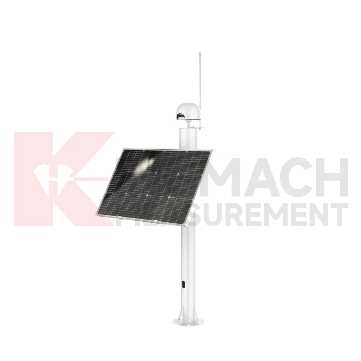
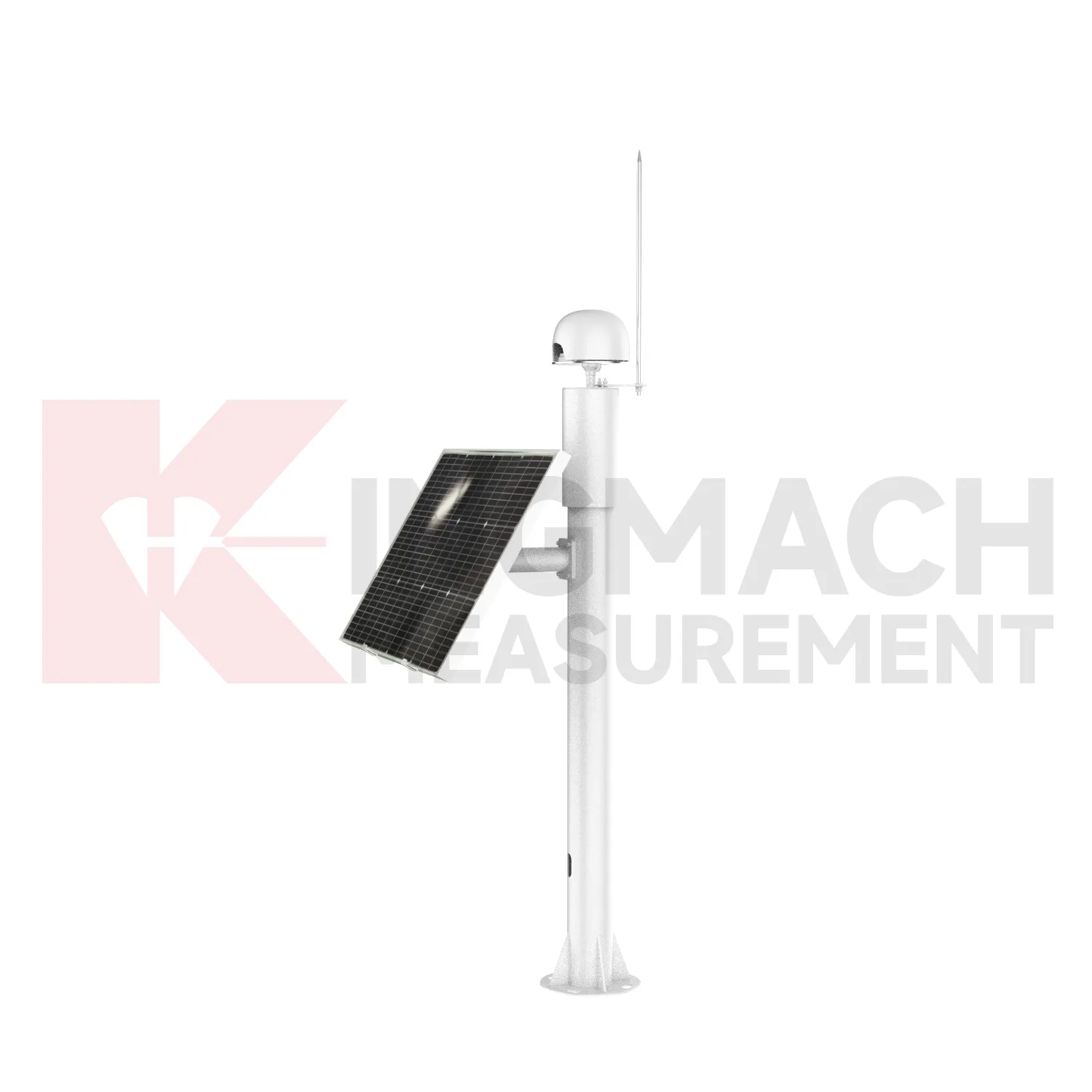
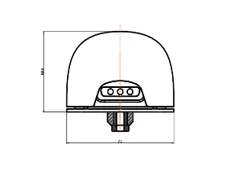
The system integrates a survey-grade antenna, 4G/RS485 communication modules, and a power management unit into a compact design. Powered by a 12V/35Ah lithium battery with solar charging support, it ensures long-term stable operation in remote areas. With IP67 waterproof rating and robust environmental adaptability (-40ºC~+85ºC), it reliably performs in harsh engineering environments, providing real-time displacement data for structural safety assessment.
Multi-satellite support: Compatible with BDS, GPS, GLONASS, and Galileo for stable positioning in complex environments.
High integration: Integrates receiver, antenna, communication, and power management into one unit, simplifying installation and reducing maintenance.
Dual communication modes: 4G and RS485 options meet diverse network access requirements for remote and on-site monitoring.
Autonomous power supply: Solar + lithium battery design ensures uninterrupted operation in off-grid areas, supporting 24/7 unattended monitoring.
Robust environmental adaptability: IP67 waterproofing and wide temperature range (-40ºC~+85ºC) withstand rain, dust, and extreme temperatures.
Geological engineering: Slope stability monitoring, landslide early warning, and ground subsidence measurement
Transportation infrastructure: High-speed railway track displacement, bridge deformation, and tunnel structural monitoring
Hydropower & dams: Dam body settlement, reservoir slope movement, and water conservancy project safety monitoring
Civil buildings: High-rise building foundation displacement, historical building structural stability tracking
Mining: Mine slope and underground structure deformation monitoring
|
Parameter |
Details |
|
Positioning Accuracy |
-Static: Horizontal ±2.5mm, Elevation ±5mm- Dynamic: Horizontal ±8mm, Elevation ±15mm |
|
Resolution |
1mm |
|
Supported Constellations |
BDS (B1L/B2L/B3L/B1C/B2a/B2b), GPS (L1/L2), GLONASS (L1/L2), Galileo (E1/E5b) |
|
Communication Interfaces |
4G, RS485 |
|
Power Supply |
DC 9~24V (compatible with 12V/35Ah lithium battery and solar charging) |
|
Power Consumption |
1.5W (typical) |
|
Operating Temperature |
-40ºC~+85ºC |
|
Storage Temperature |
-55ºC~+95ºC |
|
Humidity Resistance |
95% RH (non-condensing) |
|
Waterproof Rating |
IP67 |
|
Antenna |
Built-in survey-grade antenna (integrated design) |
|
Reliability |
MTBF ≥35,000 hours |


If you are interested in our products or want to become our partner.
Please leave your contact information, our team will contact you as soon as possible.
Mail: [email protected]
Contact Us: +8613808434127
Address: No. 188 Tongzipo West Rd, Changsha, Hunan, China
 ar
ar bg
bg hr
hr cs
cs da
da nl
nl fi
fi fr
fr de
de el
el hi
hi it
it ko
ko no
no pl
pl pt
pt ro
ro ru
ru es
es sv
sv tl
tl iw
iw id
id lv
lv lt
lt sr
sr sk
sk sl
sl uk
uk vi
vi et
et hu
hu th
th tr
tr fa
fa ms
ms hy
hy ka
ka ur
ur bn
bn mn
mn ta
ta kk
kk uz
uz ku
ku