 ar
ar bg
bg hr
hr cs
cs da
da nl
nl fi
fi fr
fr de
de el
el hi
hi it
it ko
ko no
no pl
pl pt
pt ro
ro ru
ru es
es sv
sv tl
tl iw
iw id
id lv
lv lt
lt sr
sr sk
sk sl
sl uk
uk vi
vi et
et hu
hu th
th tr
tr fa
fa ms
ms hy
hy ka
ka ur
ur bn
bn mn
mn ta
ta kk
kk uz
uz ku
ku
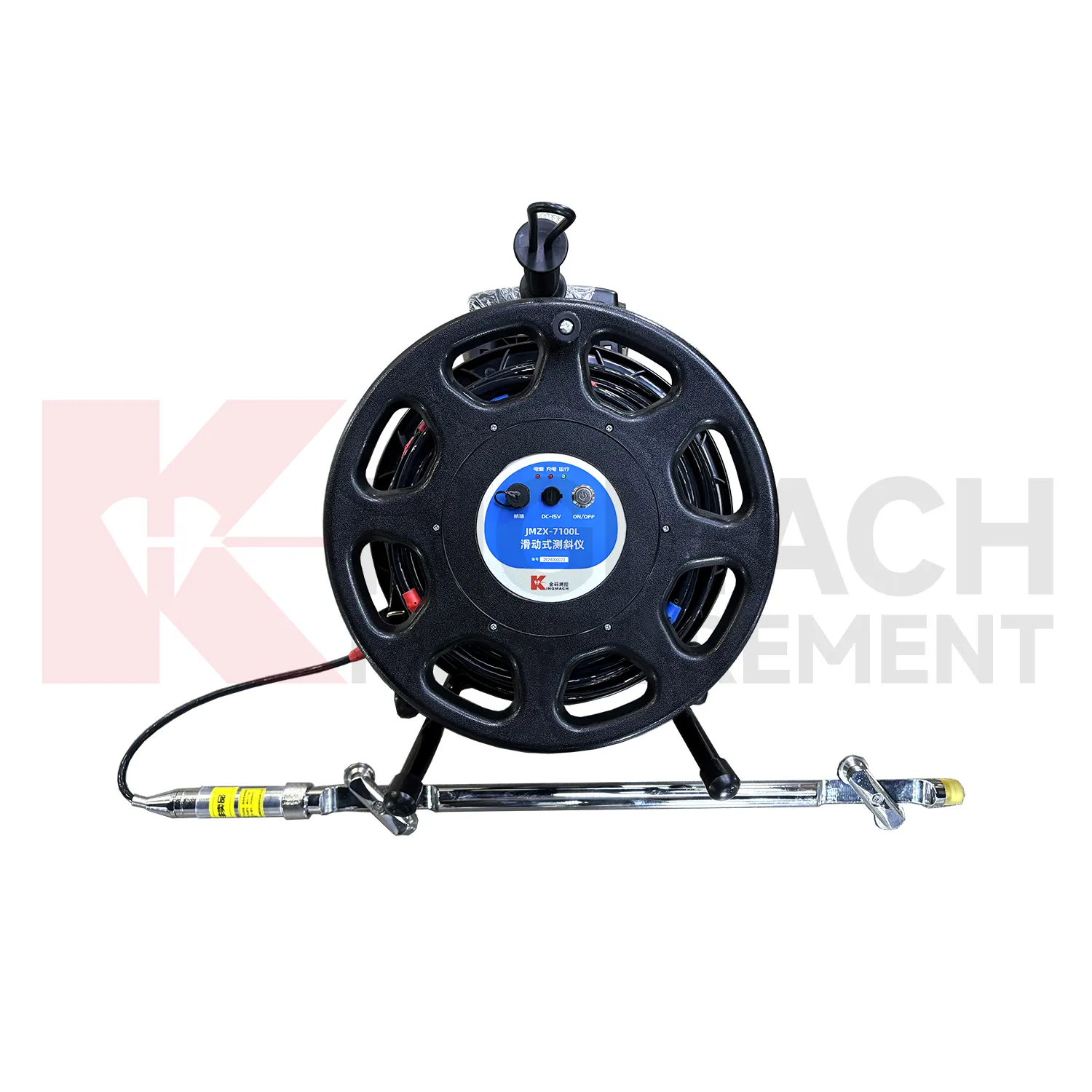
gps data loggers
Kingmach gps data loggers are often selected when a project needs both confidence in individual sensors and organized data management. A sensor may be accurate, but the record can still become difficult to use if channels are mislabeled, upload intervals are unclear, or field notes are separated from values. Acquisition devices reduce that risk when they keep the measurement process disciplined. A readout can verify the point, a logger can continue collection, and a platform connection can support later review. This is important for dams, bridges, tunnels, slopes, buildings, mines, and civil structures where safety-related interpretation depends on a reliable time history. The device also helps teams detect management problems early. Missing intervals, repeated channel names, unexpected upload gaps, or values stored under the wrong point can weaken confidence even when the sensor is healthy. A disciplined acquisition setup gives each reading a clear origin and makes later review easier for engineers, owners, and maintenance teams. That discipline turns individual sensor signals into a usable project record. In long projects, this is important because construction teams, monitoring specialists, and asset managers may all handle the same data at different times. Clear acquisition discipline keeps their work connected. across project phases. and audits.
Application of gps data loggers
Dam and hydraulic projects use Kingmach gps data loggers to collect readings from strain gauges, displacement points, seepage instruments, water-related sensors, and environmental stations. A dam gallery or remote auxiliary structure may not be convenient for frequent manual visits, so fixed or wireless data loggers can improve continuity. Portable readouts remain useful for verification, maintenance checks, and sensor replacement. The acquisition plan should define which records support routine operation, which records support safety review, and which records are temporary construction measurements. Stable channel naming is important because dam projects often keep data for many years and may be reviewed by different teams across operation, inspection, and maintenance cycles. In hydraulic works, long-term comparability is especially important. A reading from a gallery, spillway, slope, or seepage point should remain traceable after seasonal changes, repairs, or inspection campaigns. The data logger history should show when a point was checked, when a device was serviced, and whether communication or power condition affected the record. This helps dam owners keep monitoring evidence usable through operation and maintenance. It also supports comparison with water level, rainfall, seepage, temperature, and inspection notes when abnormal behavior needs engineering review. across operating seasons. with clear responsibility. over time. reliably. safely.
The future of gps data loggers
Future Kingmach gps data loggers will support higher-quality event records for dynamic monitoring. Bridges, buildings, railway lines, tunnels, machinery foundations, and construction sites may need synchronized channels and clear event timing. Dynamic acquisition will become more useful when the waveform is stored with event name, channel identity, trigger condition, and related site activity. This allows reviewers to compare traffic, blasting, wind, machinery start-up, or impact events with the measured response. The next step is not simply faster acquisition; it is better event context. Future event records can also separate raw waveform storage from reviewed event summaries. Engineers may keep the full file for analysis while owners need a concise record of trigger time, sensor group, event source, and response level. That structure will make repeated events easier to compare without losing the original measurement. This is especially useful for railway passage, blasting review, machinery diagnosis, and bridge vibration testing. later. during review.
Care & Maintenance of gps data loggers
Wireless logger maintenance for Kingmach gps data loggers should include communication and access checks. Remote stations may continue collecting locally even when uploads fail, or they may stop because power, antenna position, or platform settings changed. Maintenance teams should review signal status, last upload time, battery condition, local storage, and enclosure condition. If a station is in a slope, dam, tunnel, or bridge area with difficult access, visits should be planned around real device status rather than fixed habit alone. Clear station notes reduce unnecessary trips and protect data continuity. Wireless maintenance should also record whether data was recovered locally after an upload gap. If the platform shows missing records, the field file may still contain stored readings. Checking local storage before replacing parts can save time and preserve the monitoring history. Antenna position, signal quality, and upload schedule should remain visible in the station record. for later review. by owners. consistently.
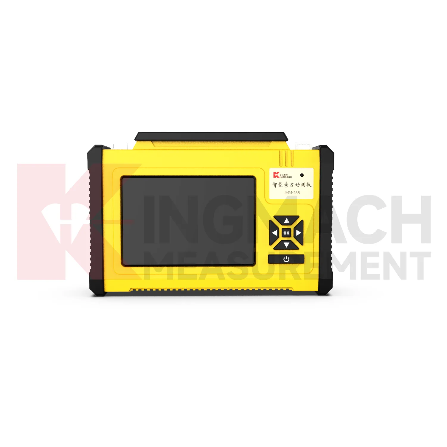
Kingmach gps data loggers
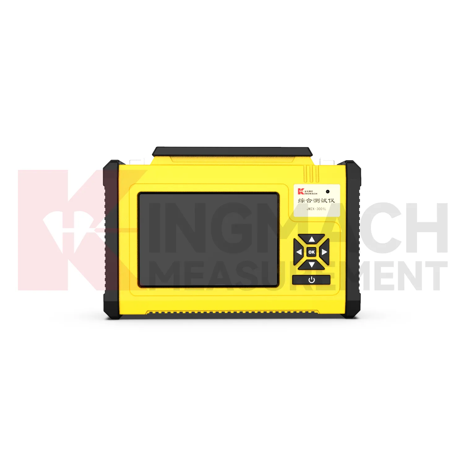
For Kingmach gps data loggers, usability in the field is as important as acquisition capability. A device may be technically capable, but it still needs clear operation, readable display, secure connectors, stable power, and a practical method for exporting data. Field crews often work in tunnels, slopes, bridge decks, dam galleries, or construction zones where time and access are limited. A well-planned readout or logger reduces repeated site visits because the operator can confirm the point, store the record, and move on with confidence. This is especially useful when many sensors must be checked in one inspection round. Field usability also depends on small details: charged batteries, clean connectors, readable screen prompts, clear file names, and enough storage before the route begins. When those basics are ready, technicians can spend their time checking sensors instead of troubleshooting the instrument. during each site visit. without avoidable delay. for crews. on site safely. consistently.
FAQ
Q: Where are these devices used?
A: They are used in bridges, tunnels, dams, slopes, buildings, foundation pits, railways, mines, industrial testing, and other monitoring projects.
Q: Why combine readouts with loggers?
A: Readouts confirm field points during visits, while loggers keep collecting data between visits. Together they support both verification and continuity.
Q: What should a remote station show?
A: A remote station should show acquisition status, last upload time, power condition, active channels, storage condition, and recent maintenance history.
Q: How do these devices support reports?
A: They keep readings traceable by time, channel, sensor type, location, and device status so engineers can explain trends and events more clearly.
Q: What causes confusing readings?
A: Loose cables, wrong channel names, weak power, wet enclosures, changed settings, sensor faults, or real site changes can all create confusing records. The record stays useful when point names, channel labels, sensor type, measurement time, and field condition are kept together, because later reviewers can connect the number with the actual structure and inspection history.
Reviews
Joshua Clark
We ordered a full monitoring solution including sensors and data loggers. Everything works seamlessly together. Great supplier!
Matthew Garcia
Instrumentation cables are durable and perform well even in harsh environments. Will definitely order again.
Latest Inquiries
To protect the privacy of our buyers, only public service email domains like Gmail, Yahoo, and MSN will be displayed. Additionally, only a limited portion of the inquiry content will be shown.
Amelia***@gmail.comSingapore
Hello, I am looking for visualization software for monitoring system data analysis. Please let me kn...
Harper***@gmail.comIndia
Dear Sir, we are planning to procure a complete monitoring system including strain gauges, tiltmeter...
Related product categories
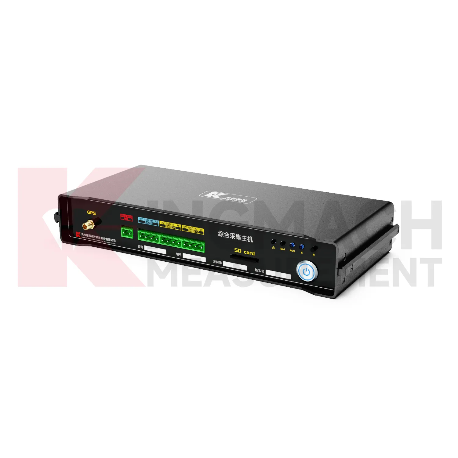
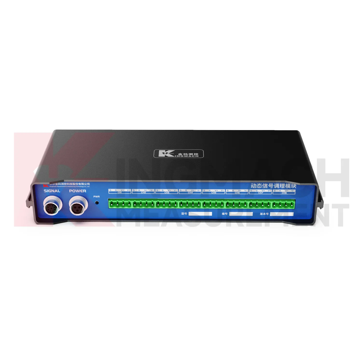
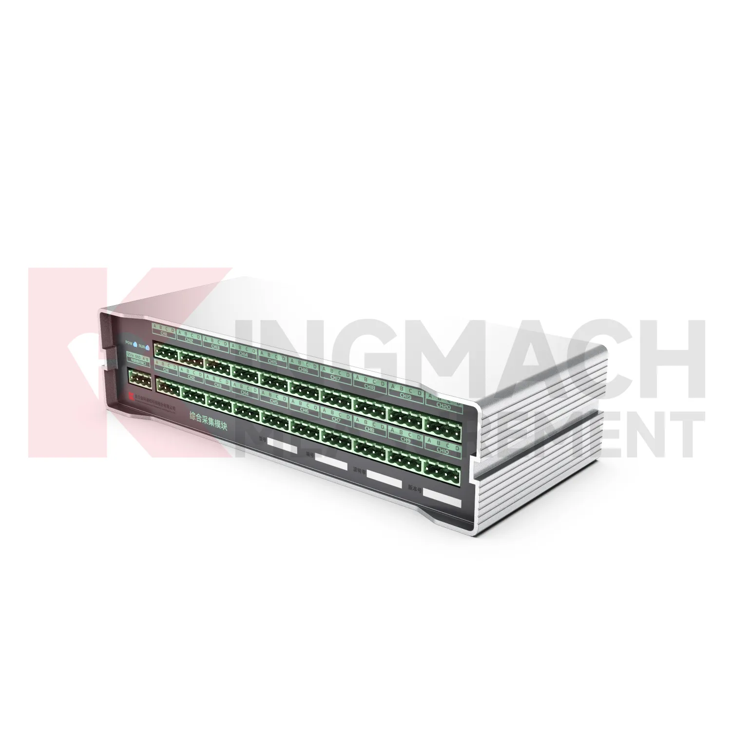
- Integrated Comprehensive Acquisition Module
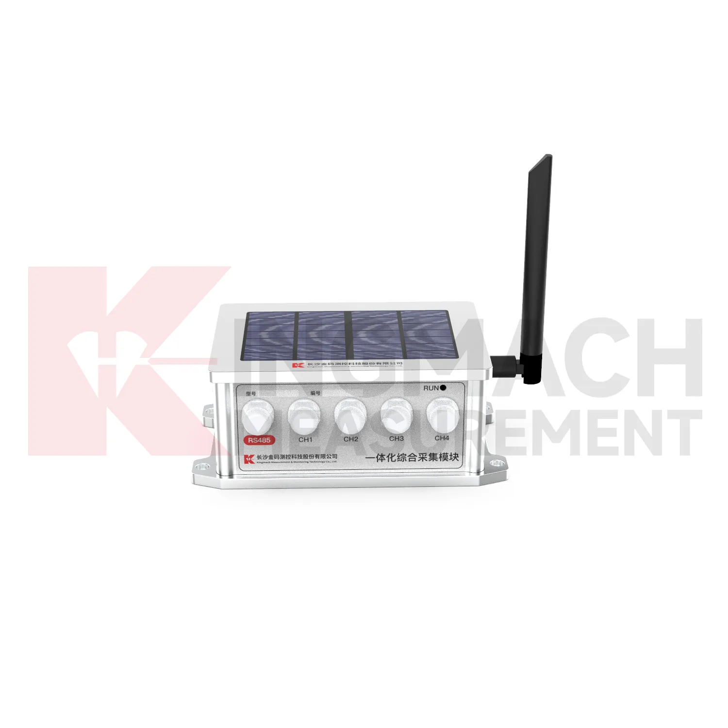
- Wireless Data Logger (low power consumption design)
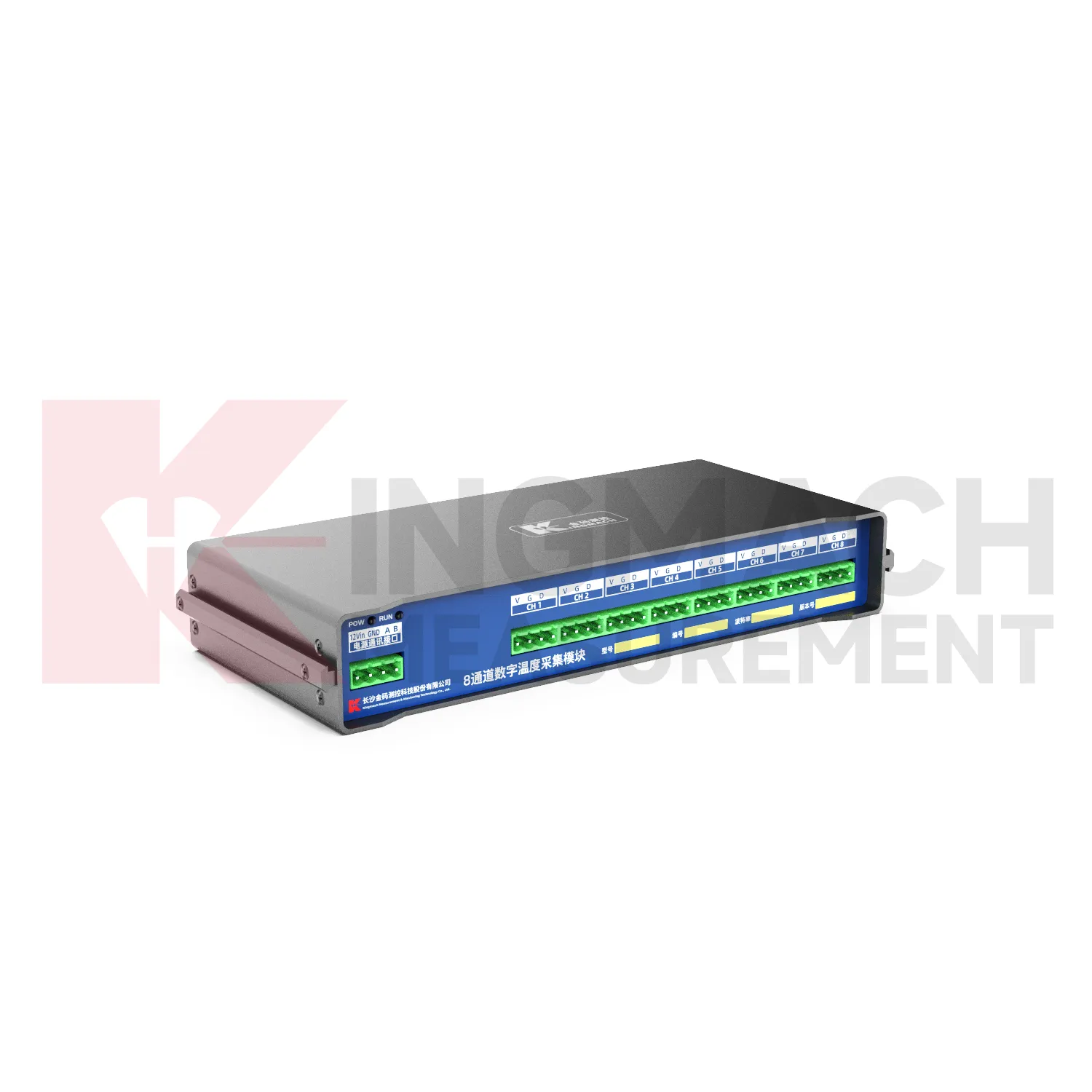
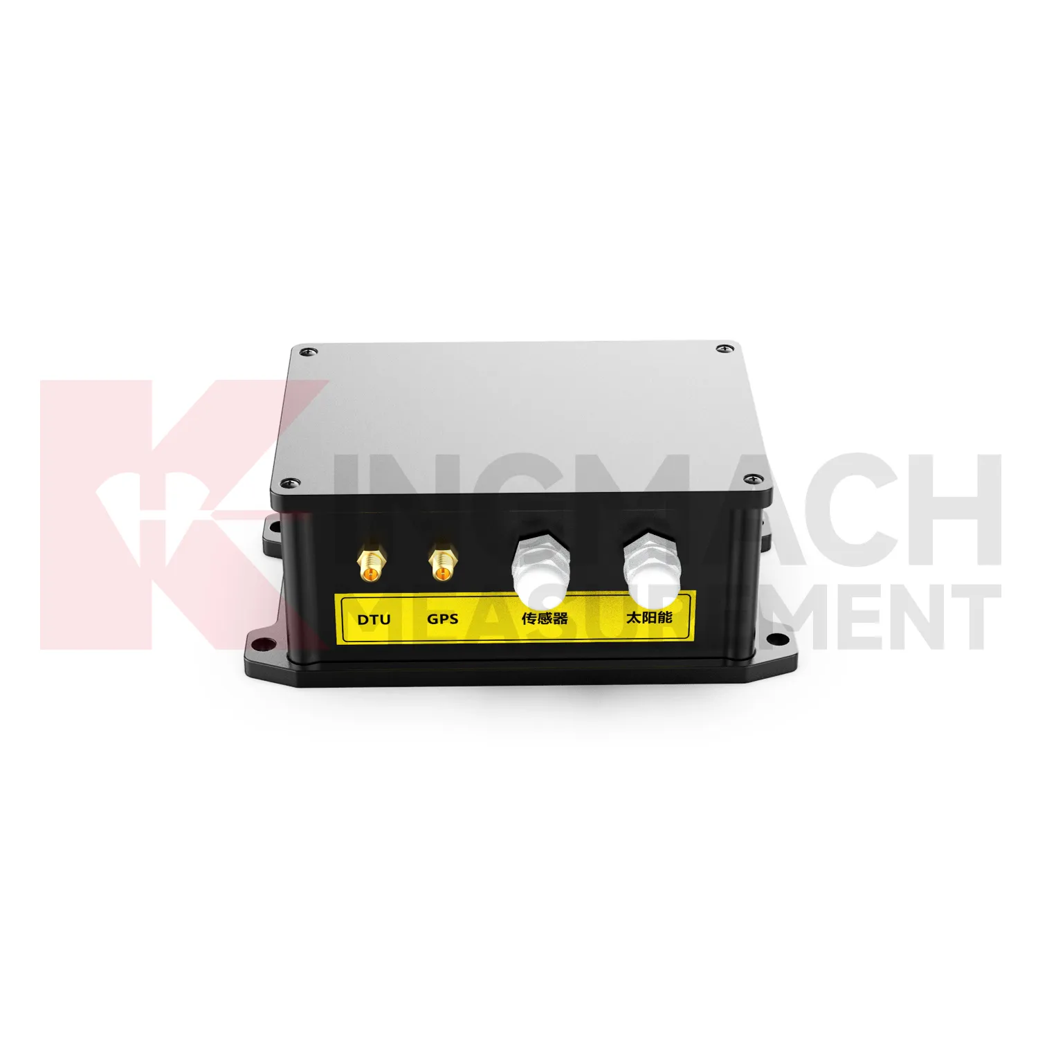
- Data Loggers
- jointmeters
- Communication Systems
- Software Platform
- Survey Equipment
- Data management software
- Monitoring Software Suite
- Groundwater modeling software
- Data Acquisition Systems
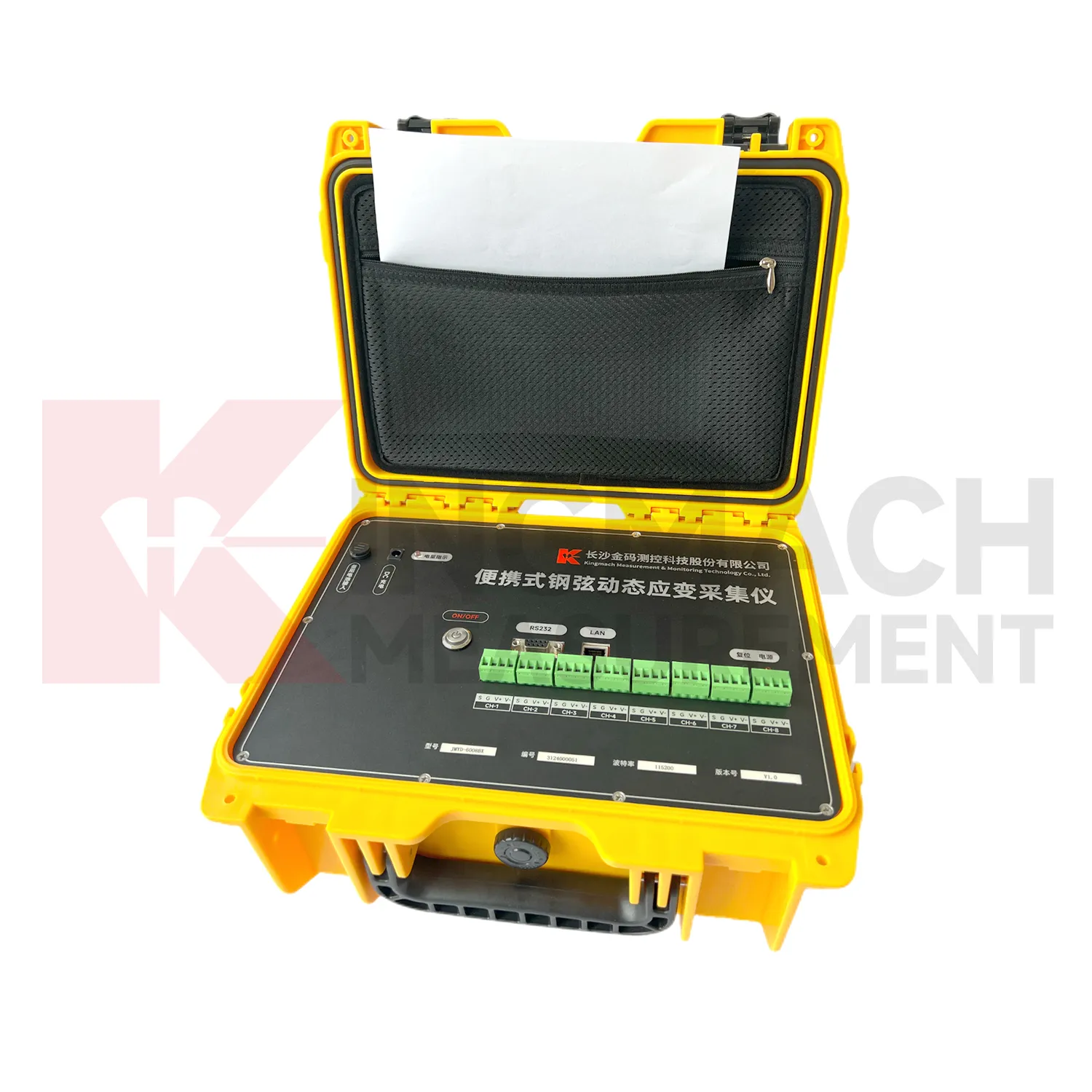
- Portable Vibrating Wire Dynamic Strain Data Logger